
Trace a Blacksburg Street by Address
A careful street directory search begins with the county’s address mode, then follows the parcel rather than guessing from a surname. The Montgomery real-estate search covers assessed property, not every occupant on a street. It can show an owner name and mailing address, tax-map number, legal description, land size, current assessment, and sometimes a residential sketch. Treat that card as an assessment record at the portal’s displayed data date.
- Enter the street name in the county address search, omitting the street type; add a number only after confirming the road spelling.
- Save the tax-map number and legal description from the assessment detail.
- Open the same address in MyGIS OneView to inspect parcel lines, address points, zoning, and adjacent-parcel context.
- Use the tax-map, book/page, or instrument reference when asking the Circuit Clerk for a deed, plat, easement, release, or other recorded document.
- For a dated household trail, pair the parcel with the historical directory, map, newspaper, or archive source for the correct year.
Each step narrows the record question. A person listed on a deed is a transaction party; an assessed owner is not automatically the present occupant. That distinction keeps a Blacksburg street directory useful without overstating what an address result proves.
Blacksburg Street Directory Search Fields
The Montgomery address interface is built for a street-first search. Street Name is required, while Street Number and Direction are optional. Its instructions say to omit the street type and permit an asterisk wildcard for a broad lookup. This is why an address search for a Blacksburg street should begin with the core road name instead of an assumed abbreviation. Results can be sorted, and the form supplies result-count and page controls.
| Address field | Research use |
|---|---|
| Street Name | Required; enter the road name without its street type. |
| Street Number | Optional; use it to narrow the verified street. |
| Direction | Optional selection where a directional designation matters. |
| Wildcard | Use an asterisk for a broader road-name search when the spelling is uncertain. |
Source view: Montgomery County address search.
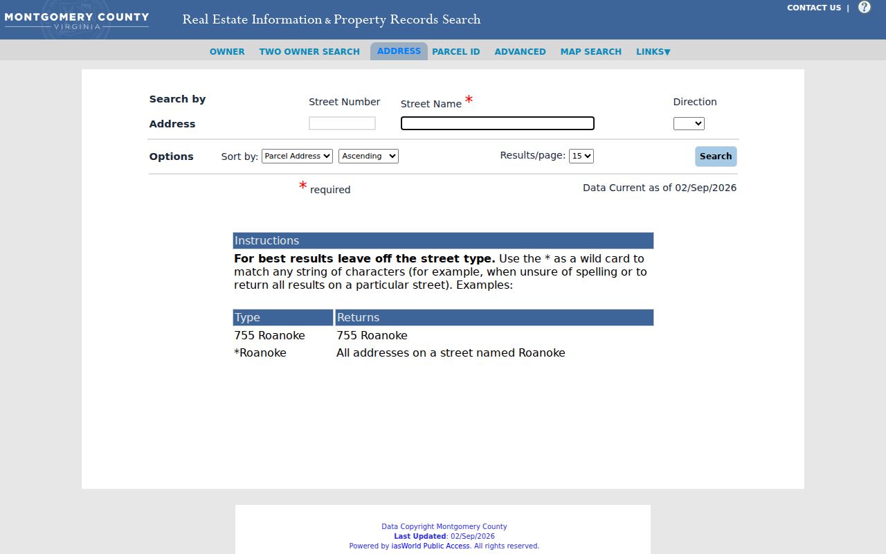
The captured form shows the address-specific route that starts a parcel search along a Blacksburg street.
Blacksburg Streets in MyGIS
MyGIS OneView adds the map layer that the assessment portal cannot provide. Search or map an address, then use identify or select tools to inspect parcel lines, nearby parcels, zoning, voting or school districts, address points, and aerial context. The county says parcel information is updated monthly. The map remains a reference tool, not a legal survey, final boundary determination, or social map of who knows whom.
For a named Blacksburg street, map results show where parcel geometry and road labels meet. They do not show a verified household list. A neighboring parcel can have a different owner, mailing address, tax district, and legal description. Use the parcel number as the handoff to the assessment card and Clerk, rather than treating proximity as a family or occupancy relationship.
Source view: MyGIS OneView.
The GIS capture shows how a street search becomes a parcel-and-map inspection rather than a people roster.
Blacksburg Records Searchable by Street
Address-keyed sources each answer a limited question. The assessment portal gives county property context. MyGIS gives mapped context. A Clerk document shows a recorded legal event. Town planning, building, and public-works files can connect a defined project to an address, but a request must identify an existing file rather than ask staff to assemble a street directory. Historical sources require the date to stay attached to the result.
| Address record | Keeper | What it can show | Access channel |
|---|---|---|---|
| Assessment card | Commissioner of Revenue | Assessed owner, parcel, legal description, value, and sketch availability | County owner and address portal |
| Parcel map | Montgomery GIS | Parcel lines, address points, districts, zoning, and map context | MyGIS OneView |
| Deed or plat | Circuit Clerk | Recorded transaction, instrument, and legal property reference | Clerk route, mail request, or counter |
| Town project file | Town department | Defined permit, development, engineering, or public-improvement record | Department inquiry or FOIA request |
| Historic directory or map | Library, museum, archive | Dated street and household or building context | Scan, appointment, microfilm, or reading room |
Parcel number and legal description are the useful bridge between the street directory, land records, and map. Street names alone can change in spelling or scope, especially in historical material. Keep the exact form shown by the source.
Montgomery Deeds Along a Blacksburg Street
The Circuit Clerk records deeds, deeds of trust, assignments, plats, easements, powers of attorney, satisfactions, homestead deeds, foreclosure deeds, covenants, and restrictions. A land-record request works best with a book and page, instrument number, party name, date, or legal description. The Clerk’s deeds page says recording is available daily from 8:30 a.m. to 4 p.m.; the public-records page gives a mail route for copies.
A local entities deeds-and-trusts index can be a useful lead because its entries identify grantor, grantee, document context, date-style information, and book/page or instrument references. It is not the official substitute for the underlying instrument. Take that reference to the Clerk, then distinguish a transaction party from an occupant or a current owner. The full historical household collections are treated separately in the city directory materials.
Source view: Circuit Clerk deeds and land records.
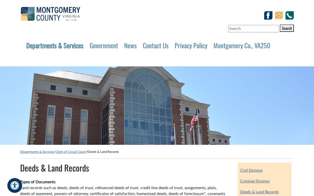
The Clerk page provides the official route from a street-level parcel lead to a recorded land instrument.
Historic Blacksburg Street Context
For an earlier street question, use sources that preserve time. The 1932 Blacksburg, Cambria, and Christiansburg City Directory can link a person, business or occupation, address, and locality heading at a fixed date. It is not a current reverse directory, and no official printed Blacksburg reverse-directory run was located. The directory must also be read with care because it includes adjacent communities.
Historic Sanborn maps are another street tool. The Library of Congress describes its 1921 Blacksburg item as six sheets from April 1921. Maps can show road layout, building footprints, construction materials, and labels. Pair a map with a deed or directory rather than using a building label as a household claim. The Library of Virginia inventory and local newspaper collections can then add recorded context to the appropriate date.
- Situs address
- The physical location used to identify property, which may differ from the owner’s mailing address.
- Plat
- A recorded map that depicts property lines, lots, or easements.
- Criss-cross directory
- A historical address-organized directory; no verified Blacksburg run was located in the research.
- Parcel
- The mapped property unit that ties an address to a tax-map identifier.
Blacksburg Street Files Through FOIA
Some address records have no public search screen. The Town of Blacksburg accepts FOIA requests through JustFOIA, mail, phone, or in-person contact. Ask for an existing project file, map, meeting packet, public-comment log, cemetery record, or defined planning and development file by address, parcel, application number, or date range. Town and county FOIA do not require staff to create a new street-by-street report from multiple systems.
Virginia FOIA normally calls for a response within five working days. The town can provide records, explain a lawful withholding, state that records cannot be found, or seek permitted additional time. The town posts copying charges and may request a deposit when an estimate exceeds $200. A narrow request protects both the record context and the chance of a useful response.
Montgomery Land Indexes for Blacksburg Streets
When a current street address leads to a much older parcel, the Library of Virginia’s Montgomery County microfilm inventory becomes the historical finding aid. Its general indexes to deeds and grantors or grantees cover 1773 to 1933 on reels 10 through 13, while plat indexes cover 1773 to 1890. The inventory also describes deed books, land-entry books, releases, trust-deed material, court records, and town-council minutes.
The practical sequence is index, book or reel reference, deed or plat image, map, and only then a dated directory or newspaper comparison. The oldest records may use Fincastle or early Montgomery county context, so preserve the original jurisdiction and date. A long property trail can explain a street’s history, but it does not convert an old transaction into current resident information.
Blacksburg Address Project Records
Town Planning and Building uses an OpenGov route for building, zoning, development, home-occupation, business-license, zoning-verification, variance, and related applications. An account is used across application categories, but the research did not locate a complete public field-by-field inventory for every type. A public application or business record can connect a project or regulated activity to an address. It is not evidence that a named applicant lives there.
When an existing project file, public comment, road improvement record, or permit record is needed, identify the address, parcel, application number, hearing date, or date range. Ask the responsible town department or submit a narrow FOIA request. This route is more reliable than assuming that every street address has an online permit history or that a status entry proves present occupancy.
Limits of a Blacksburg Street Directory
A street result cannot verify every resident, renter, household member, or relationship at an address. The county property portal reports assessed real estate, and its mailing address need not be a physical residence. A deed establishes a recorded interest, not current occupancy. GIS proximity does not establish social connection. The research found no official current Blacksburg resident roster, public neighbor-name search, or ZIP-to-parcel people export.
Virginia voter-list access is restricted and excludes sensitive fields. Court systems omit protected categories, and vital certificates follow separate access rules. The Virginia Address Confidentiality Program can provide a substitute mailing address for eligible survivors. Never try to reverse a substitute address or combine public fragments into a tracking profile.
Note: A precise source, date, parcel reference, and custodian route make a street search more useful than a broad, unsupported list of names.