
Check Blacksburg Neighbors by Block
A block-level search has several record layers, each with a narrow role. MyGIS OneView shows the geographic setting around an address. The real-estate portal connects a parcel to the county’s assessed-owner record. A deed or plat records a legal property event. Historical directories, maps, local collections, and community sources may show earlier context. These tools describe parcels, record participants, or organizations. They do not identify every person who lives near a subject address.
| Block source | What it can show about a block | Access |
|---|---|---|
| MyGIS OneView | Parcel boundaries, address points, districts, zoning, and aerial context | Public county map |
| County assessment portal | Assessed owner, parcel identifier, legal description, and assessment context | Public owner or address search |
| Circuit Clerk land record | Recorded deed, plat, easement, release, or related instrument | Clerk route or mail request |
| Precinct map | Address-to-precinct or district context | County elections map |
| Historic archive | Dated community, street, map, or organization context | Library, museum, or reading room |
For Blacksburg neighbors, distinguish an owner from an occupant, a map-adjacent parcel from a household relationship, and a historical source from a current one. Those limits make the map more informative and less intrusive.
Blacksburg Neighbors on MyGIS
Start a Blacksburg neighbors search by locating the subject address in MyGIS OneView. Use the map’s search, identify, or select tools to see the subject parcel, adjacent parcel boundaries, street labels, address points, zoning, voting and school districts, and aerial context. Record the map’s update notice along with the parcel information. County guidance describes this as a reference layer, not a legal survey or final determination.
The required map inspection is deliberately parcel-focused. Capture the subject property and the surrounding parcel boundaries, not names of occupants. Adjacent lines may lead to a plat, easement, deed, or tax-map research question. They do not establish that the people associated with two parcels are relatives, social contacts, or current neighbors. The block remains a geographic starting point.
Source view: Montgomery County MyGIS OneView.
Blacksburg Neighborhood Layers
Town mapping identifies neighborhood areas alongside zoning, quadrants, voting districts, and school districts. Those layers can organize a Blacksburg neighbors search, but a map label is not automatically an official jurisdiction. Useful context includes downtown, campus, the Prices Fork and Hethwood area, and historic Black neighborhoods. Preserve the historical framing when a source uses it.
An official town plan identifies Jackson Street, Lee/Woolwine, Clay/Church, Nellie’s Cave, Wake Forest, Gilbert/New Town, and St. Luke/Odd Fellows Hall as historically Black places. They matter for Sanborn maps, schools, churches, newspapers, cemetery, and deed research. The research does not support treating any historic label as a current list of residents or an administrative boundary.
Source view: Blacksburg district history and maps.
The same map resource is used here as a historical geography reference, not a source for a present-day neighbors list.
Map a Blacksburg Block by Parcel
The clean neighbor workflow moves outward from one validated address. It uses GIS for geometry, the assessment portal for the county property card, and the Circuit Clerk only when an instrument or legal description needs confirmation. No step treats an owner mailing address as a statement of occupancy. For a whole named street and its property trail, use the separate Blacksburg street directory approach.
- Validate the subject address and use the map search to locate its parcel.
- Select or identify the subject parcel and note its tax-map number, legal description, and surrounding boundaries.
- Inspect adjacent parcels one at a time, keeping each parcel’s record separate.
- Open the county assessment card when a property-owner question is relevant.
- Request a deed or plat from the Clerk when the parcel record points to an instrument reference.
This flow preserves a useful boundary: a property record documents a parcel relationship. It does not document friendship, family connection, or everyone living in a nearby building.
Blacksburg Community Association Records
Community sources can add context for Blacksburg neighbors, but they are not public rosters. The Hethwood Foundation’s forms describe association administration, including architectural-change, resale, transfer, and membership-verification processes. Its newsletter form asks an individual to submit a Hethwood address and contact details. That is a private administrative channel, not a permission to publish member names or addresses.
Maple Ridge Community Association describes lot-owner membership, dues, common grounds, recreation-center administration, and a board or management contact route. The research located no official town-wide directory of neighborhood associations or current neighborhood contacts. Use a documented organization’s public contact method for an organization question, and never convert its membership structure into a block-level people list.
Maple Ridge Community Association
Lot-owner association information
Private community source
Blacksburg Town Records by Block
Virginia Tech Special Collections holds a Town of Blacksburg collection with financial statements from 1927 to 1951, a 1954 annual report, a 1944 population study, Chamber brochures, an 1885 ordinance and by-laws item, and election records from 1936 to 1968. The collection is open for research. These materials can explain an organization, municipal decision, or neighborhood context at a particular date.
The Blacksburg Vertical Files, also open for research, cover roughly the 1960s to the present and include clippings, ephemera, and unpublished material. No online items are listed. A finding aid describes what may be requested, not the document itself. Ask the repository for a scan or reading-room access and retain collection, component, and date details with the result.
Source view: Town of Blacksburg collection.
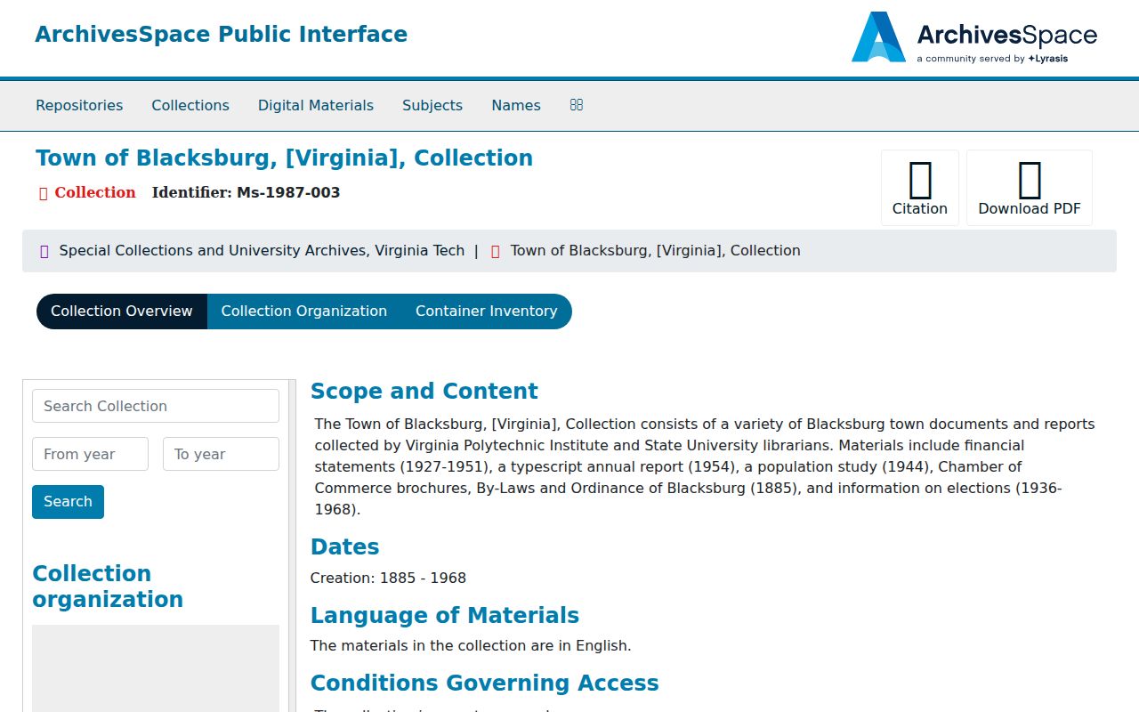
The finding-aid capture shows a source for dated municipal and community context, not an online household record.
Montgomery Election Maps Near Blacksburg
The Montgomery Office of Elections maintains registration and precinct administration, and its maps page supplies a What’s My District workflow: select the magnifying glass, enter an address, then inspect the precinct and district. Posted maps are dated, so an older map may not answer a current precinct question. The county has 29 precincts. Precinct context can help distinguish political geography from a neighborhood label.
The Virginia Citizen Portal is designed for a person’s own status, registration, polling place, or absentee request. Unrestricted third-party voter searching was not located. Voter-list copies are subject to Virginia’s restricted-use rules and exclude sensitive fields. An address-to-precinct answer is not a resident roster and should stay that way.
Source view: Montgomery Office of Elections.
The elections-office capture points to official precinct and registration routes instead of a block-by-block name list.
Official Records and Neighbor Tools
Official sources identify their custodian, record type, and access route. A commercial neighbor-search category may blend names, addresses, and sources without providing the same date, source image, or restriction context. For a parcel question, use the county’s map and assessment portal. For a title question, use the Clerk. For a historic community question, use the archive or library that preserves the item.
| Record-first method | Unverified compiled result |
|---|---|
| Names the keeper, date, record scope, and source route. | May not explain source date, relationship, or update history. |
| Separates assessed owner, transaction party, and historical entry. | Can blur separate address relationships into one profile. |
| Supports a defined property, civic, or family-history question. | Does not remove the duty to respect protected and restricted data. |
Use the record that fits the question. That choice produces a more dependable Blacksburg neighbors result than trying to make one broad answer from unrelated systems.
Privacy Limits for Blacksburg Neighbors
A map, assessment card, or archived community record cannot disclose every neighbor. Renters, household members, private contact information, protected addresses, and sensitive identifiers are not a lawful block-search target. Virginia’s Address Confidentiality Program provides eligible survivors a substitute mailing address. Court, vital, voter, police, and tax materials also carry record-specific restrictions and redaction rules.
Note: A block can be researched as parcels, maps, and dated local sources without turning nearby addresses into a public household directory.